
Description
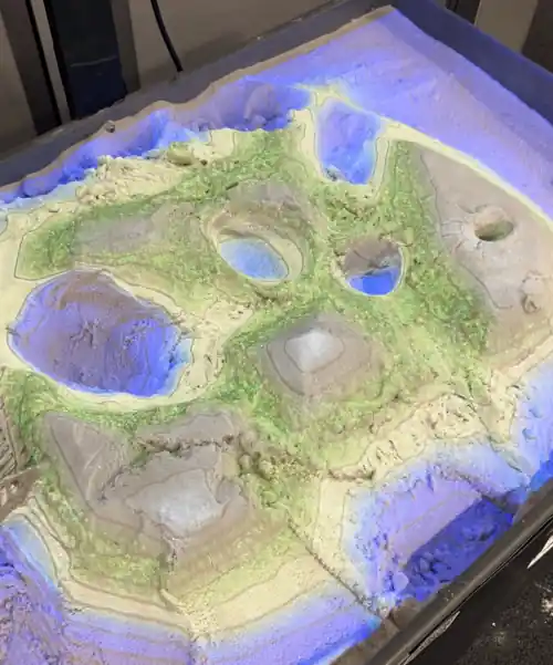
The topographic sand map is a real-time interactive demonstration of topography lines. The table uses the Microsoft Kinect viewer to create a height map of the sand 30 times per second, which is then sent through processing filters that create a layered topographic map. I displayed it at the Geomatics Engineering Conference in Fresno. I started on the project when another team had been working on it for two years. The mechanism was ready but there was no code to run it. I adopted the project by myself and wrote a working Unity program within 5 months.
Technologies Used
- Unity
- C#
- Shaderlab
- Microsoft Kinect
Photos
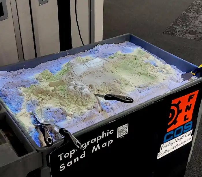
Table at Geomatics and Engineering Conference at CSU Fresno
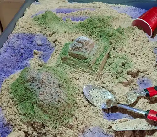
Table at the Expand Your Horizons youth conference
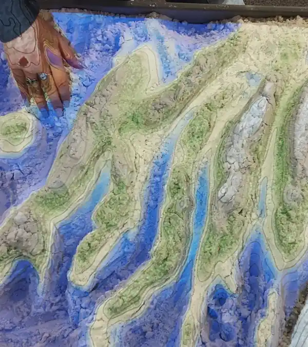
Cool geographical designs on the table
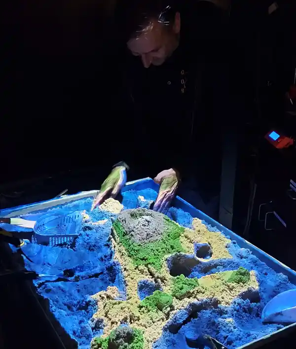
Table in the dark
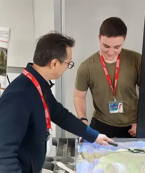
Dr. Ahn playing with the sand table
Features
- Alignment control system
- Different themes
- Contour lines